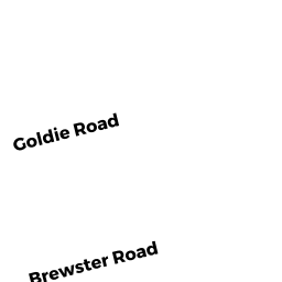
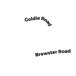
13 BREWSTER RD
Owner Information
NEWMAN RONALD + JEANNE
13 BREWSTER RD
W. BRIDGEWATER, MA 02379


Property Details
13 BREWSTER RD is classified as a Single Family Residential (Ranch).
The primary structure on this property was built in 1968. There are 1,459ft2 of built area within this property. There is 1,459ft2 of residential/living space within this property. This property is listed as having 6 rooms.
13 BREWSTER RD is valued at $318,000. The land is valued at $183,300 and the structures are valued at $134,000. There is an additional valuation of $700 on this property.
The most recent deed for 13 BREWSTER RD is recorded at the local registrar in Book 3492, Page 463. 13 BREWSTER RD was last sold on Friday, December 27, 1968 for $0.
Assessment data from fiscal year 2022.
Flood Data
According to the FEMA National Flood Hazard Layer, this property does not appear to be in a flood zone. It may also be in an area not yet reviewed. Nonetheless, confirm this information prior to taking any action.
To view the flood hazards around this property, create a FEMA "Firmette" Map of the area around 13 BREWSTER RD.
Broadband Internet Providers
| Provider | Type | Bandwidth (mbps) | |
|---|---|---|---|
| VSAT Systems, LLC. | Satellite | 2 | 1 |
| Viasat Inc | Satellite | 100 | 3 |
| Verizon New England Inc. | DSL | 3 | 0 |
| Comcast | Cable | 1000 | 35 |
| GCI Communication Corp. | Satellite | 0 | 0 |
| HughesNet | Satellite | 25 | 3 |
Broadband service provider data from December 2020.
Adjacent Properties
- 17 BREWSTER RD
Single Family Residential owned by ONEILL PATRICK T & AMANDA L - 10 GOLDIE RD
Single Family Residential owned by SHARLAND CHERILYN V & - 6 GOLDIE RD
Single Family Residential owned by BRODERICK JOHN M + DAWN E - 4 GOLDIE RD
Single Family Residential owned by MENDOZA ROBERT + LYNNE TBE - 2 GOLDIE RD
Single Family Residential owned by CHRISTIANSEN KATIE &